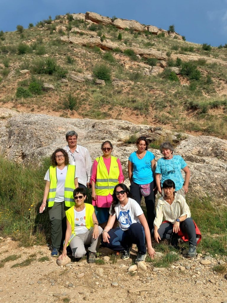
(Zaragoza, Monday, July 14, 2025). The town of Utrillas, in the province of Teruel, became the geological epicenter during the week of July 7–11 for the 58th Practical Geology Course, part of the XLI Edition of the Teruel Summer University. The course, focused on “The Alpine Orogeny in the Iberian Range (Aliaga-Utrillas-Montalbán sector),” offered its few (but highly select and enthusiastic) participants an intense and enriching hands-on experience in the heart of this unique mountain formation.
The main goal of the course was to train participants in basic geological fieldwork methods, with special emphasis on field trips involving material recognition, distinction of sedimentary units, geological mapping and cross-section drawing, and the interpretation of these elements to reconstruct the geological history of the region. This year’s edition focused specifically on identifying the imprint of the Alpine Orogeny in the area and its role as the driving force behind the formation of the Iberian Range and its major macrostructures, such as the Utrillas thrust fault.
Theory and practice hand in hand
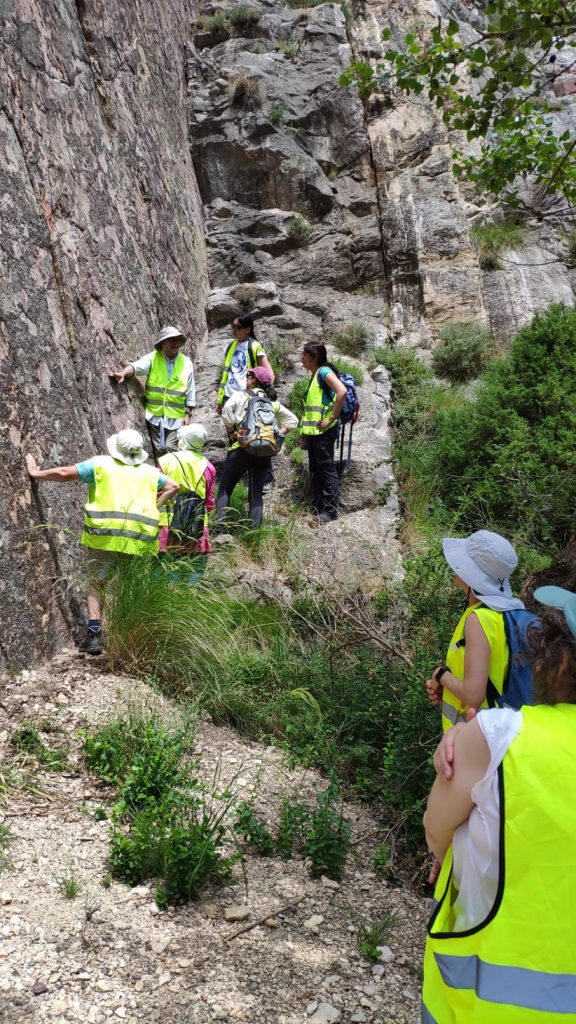
The week-long program effectively combined theoretical lessons with intensive practical sessions, both in the classroom and in the field. The modules ranged from an introduction to the geology of the Iberian Range and basic cartography concepts, to compass-based fieldwork in the Utrillas area and detailed exploration of the Alpine Orogeny at key locations such as the Aliaga Geological Park. One of the practical workshops that sparked great interest was the classroom modeling session led by Dr. Teresa Román. In this workshop, a sandbox was used to simulate the formation and development of thrust belts and folds—key elements in the creation of mountains and orogenic systems.
The field activities allowed participants to immerse themselves in the regional geology of the Iberian Range, a zone of great relevance not only for understanding other geological units in Spain but also for observing how geological processes and their temporal evolution shape landscapes and, consequently, influence human activity. Mapping exercises were carried out at the Utrillas Thrust, guided by Dr. Carlos Liesa (course director), and superimposed folds in Aliaga were analyzed under the guidance of Dr. José L. Simón. These folds form part of one of the “Second 100” geological heritage sites recognized by UNESCO. Participants also studied the formation of the Cenozoic Aliaga Basin and analyzed the infilling materials with Dr. Concepción Arenas. During a cross-section traverse from Aliaga to La Hoz de la Vieja, directed by the course leader, the main structural units of the region were reconstructed—from the Aliaga Basin to the northern flank of the Montalbán Anticline, passing through the Utrillas Thrust and the Cenozoic Montalbán Basin.