Presentation
This is an interdisciplinary group – made up of geographers, biologists, engineers, chemists – that works on the problems associated with forest areas. The aim of the group is to find operative and scientifically rigorous solutions to problems of a territorial or environmental nature with clear socio-economic implications.
Its activities are undertaken on a variety of spatiotemporal scales and with a variety of working methods. It brings together remote sensing (satellite, UAV-based, proximal), regional modelling, and the analysis of changes in GIS environments. We work on specialized field radiometry techniques and with passive and active sensors. The empirical basis in experimental field work is fundamental.
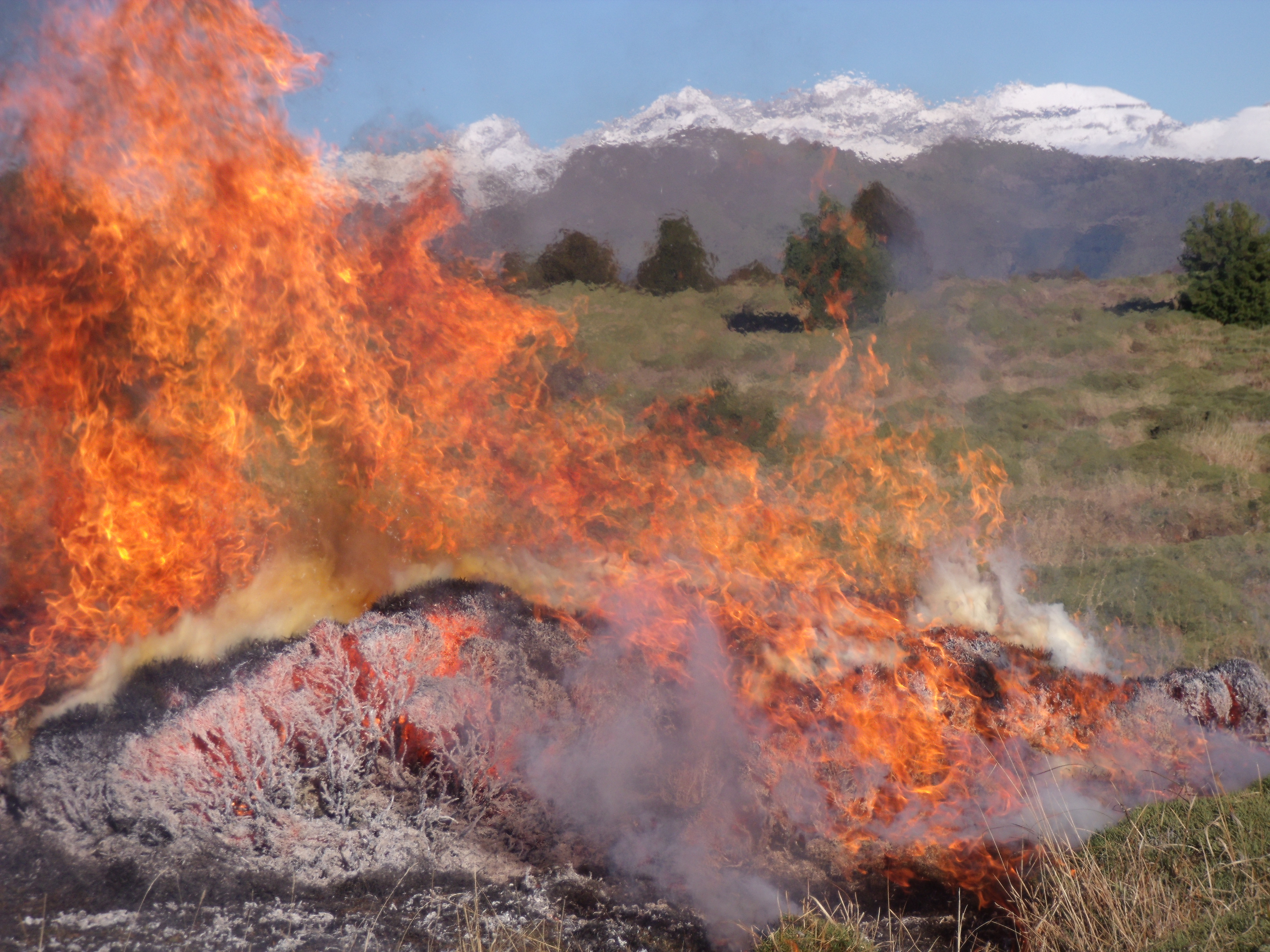
GEOFOREST is a reference group in the field of Soil Science and prescribed burns.
The main spheres of application are the forest environment, in relation with woodland (fires, inventory, dynamics), scrub and grassland (use of prescribed burns to recover land turned to scrub, grassland potential), agrarian and natural landscapes and protected areas.
Lines of investigation
- Forest Fires:
- Risk modeling: occurrence, socio-economic ignition factors, propagation and fuel models, ecological and social vulnerability.
- Assessment and modeling of post-fire environmental dynamics: fire severity, regeneration, hydro-geomorpho-soil processes (erosion, soil disturbances).
- Analysis of future scenarios in relation to management and climate change scenarios.
2. Prescribed Burns:
- Chemical properties of soil and litter (ash composition, organic matter, nutrient cycle, chemical quality).
- Biological activity, physical-hydrological properties of soil (SWR, aggregate stability, infiltration).
- Experimental burning in the laboratory (soil moisture, heat transfer).
- Soil characterization and classification and territory assessment, particularly in the agricultural field (vineyards, olive groves, etc.).
3. Cartography and modeling of environmental variables:
- Vegetation parameters: forest inventory, biomass, biophysical variables.
- Mapping and landscape diagnosis.
- Species distribution patterns.
- Land use: forestry, livestock, protected natural areas, GeoRisks/GeoResources.
Projects undertaken
The present group is a result of the merger of two previous groups: Geoforest (http://geoforest.unizar.es/) and Fuegosol (https://fuegosol.weebly.com/).
The results of GEOFOREST have been published in international journals of the highest order and have been presented at prestigious international conferences. As a result, the group is regarded as a reference group on an international level.
Indicators for the period 2014-18: 83 papers published in indexed journals (JCR-WoS); 14 PhD theses defended in the group; participation in numerous research projects, 3 within the National Research, Development and Innovation Plan (Plan Nacional I+D+I) with CI of the group (CGL2013-43440-R, CGL2014-57013-R, CGL2016-76620-R); 5 OTRI contracts (55,529 €).
The results have been brought to the attention of a broad public and transferred to the realm of environmental management, representing a fruitful exercise in cooperation and dialogue between agents within the system.
2016 saw the foundation of RemOT Technologies, a spin-off of the group (https://remot-technologies.com/).
Infrastructure
Given the nature of the activities undertaken, which involve geostatistical modelling and the use of remote sensing technologies in conjunction with empirical and experimental work on the ground, the infrastructures available are numerous, whether in the field, the laboratory or in information technology.
- Soil laboratory for the analysis of chemical, physical and biological parameters.
- Computer laboratory: computers, GIS-specific software and remote sensing.
- Field: spectro-radiometers, GPS, PDA, chlorophyll counter and LAI sensor, thermo-hygrometer, rain simulator, infiltrometer, soil analysis instruments, equipment for erosion areas.
- Mobility: all-purpose van, elevating platform.
- UAV/drone with RGB and multispectral camera.
All this is possible thanks to the ‘Plan Nacional I+D+I’ projects and the Government of Aragon, with ERDF co-financing for the creation of the laboratory ERTAlab (UNZA10-4E-488) and the acquisition of the UAV (research infrastructures DGA-UZ 2017).
Technological Offer/Services
Environmental and territorial diagnosis of physical and socio-economic variables by means of GIT (geographic information technologies) and field work for spatial planning, particularly soil analysis.
- Analysis, modelling and cartography by means of GIS and remote sensing (optical satellite, thermal and radar sensors (SAR), UAV, LiDAR sensors and field radiometry) for the diagnosis of environmental and territorial problems: modelling of the fire hazard, models of post-fire regeneration and environmental dynamics.
- Soil analysis: chemical, physical and biological properties.
- Predictive cartographic models useful for territorial management.
- Spatial planning, on different scales:
– Analysis of environmental processes in areas affected by forest fires.
– Forest inventory and biomass estimation.
– Assessment of grassland potential and prescribed burns.
– Risk analysis and cartography.
– Specific landscape analysis and cartography. - Environmental education.
Noticias del Grupo
Wildfires: the Paradox of Extinction and the Need for a New Management Model
Professor David Badía, Chair of Soil Science, professor at the Higher Polytechnic School of the Huesca Campus of the University of Zaragoza, researcher at the University Institute for Environmental Sciences of Aragón (IUCA), and member of the International Thematic Network FuegoRED, analyzes the causes, consequences, and possible solutions of wildfires during a summer marked by […].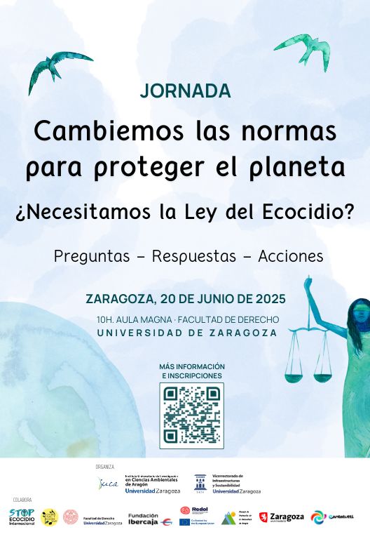
Do We Need an Ecocide Law? Reflection and Debate at the University of Zaragoza
Zaragoza, June 2025. The University of Zaragoza, through its Sustainability and 2030 Agenda Office and the University Institute for Environmental Sciences of Aragón (IUCA), is organizing a public discussion on Thursday, June 20, at the Faculty of Law, to explore one of the most urgent legal questions of our time: Should ecocide be recognized as […].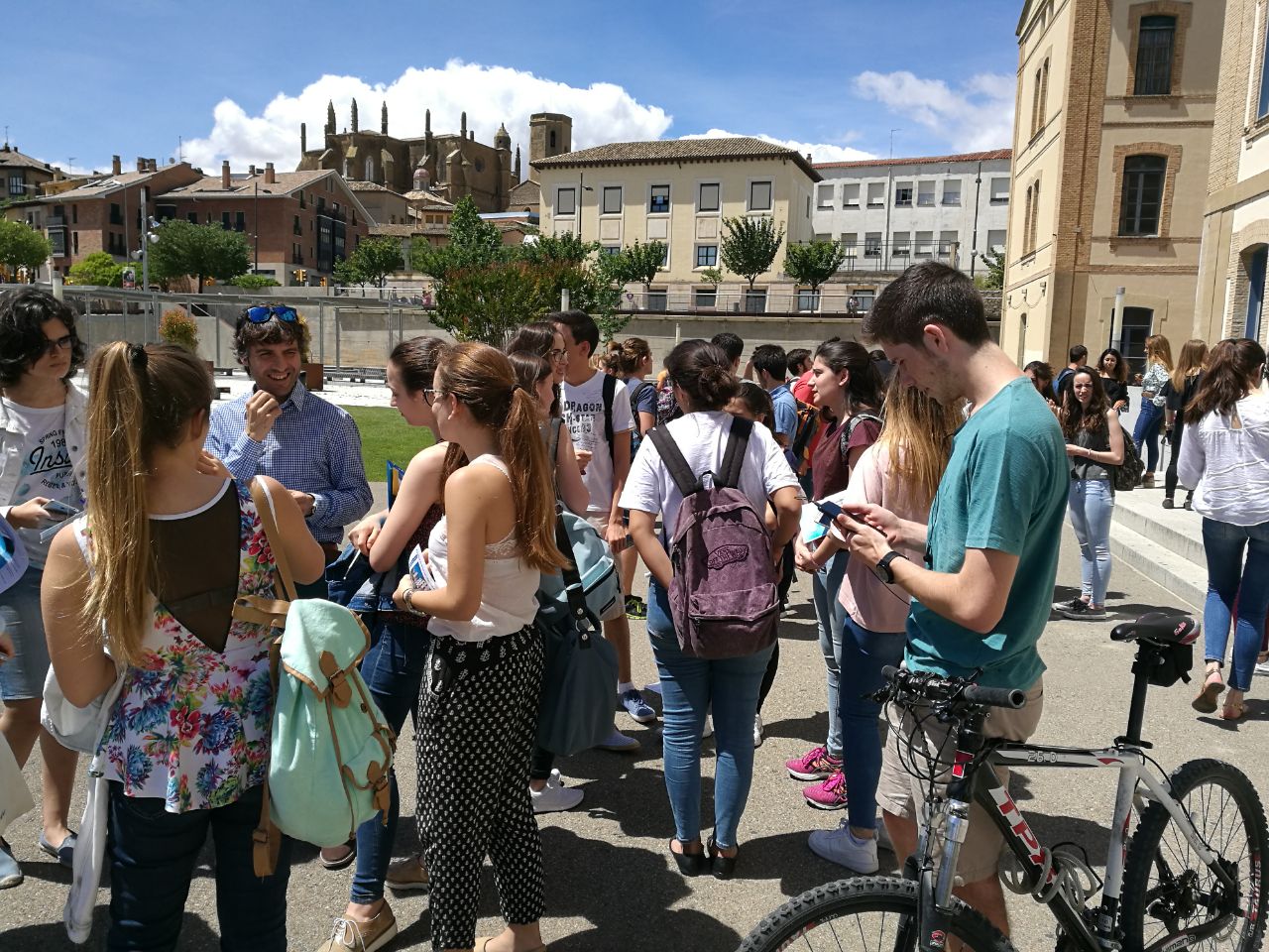
Unizar Students Present Their Work on Sustainability and the 2030 Agenda at a Simultaneous Conference in Huesca and Zaragoza
(Huesca, April 24, 2025). The 2nd Unizar Conference on Sustainability Challenges will take place this Friday, April 25, simultaneously on the Huesca and Zaragoza campuses. Students from a variety of degree programs will present around twenty papers on topics related to the 2030 Agenda and sustainability in social, economic, technological, and educational contexts. The event will […].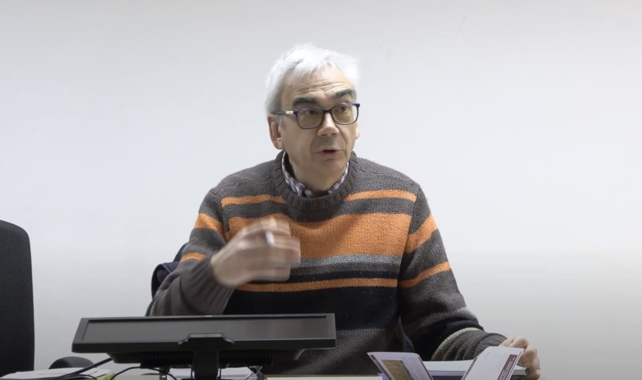
Conference “Current Knowledge on Soils in Aragon”
(Huesca, Thursday, April 10, 2025). On Friday, April 4, the conference “Current Knowledge on Soils in Aragon” was held at the School of Polytechnic Engineering (EPS) in Huesca, University of Zaragoza. The event was coordinated by David Badía Villas, co-PI of the GEOFOREST research group. The opening ceremony was led by Alfredo Serreta (GEOFOREST), director of […].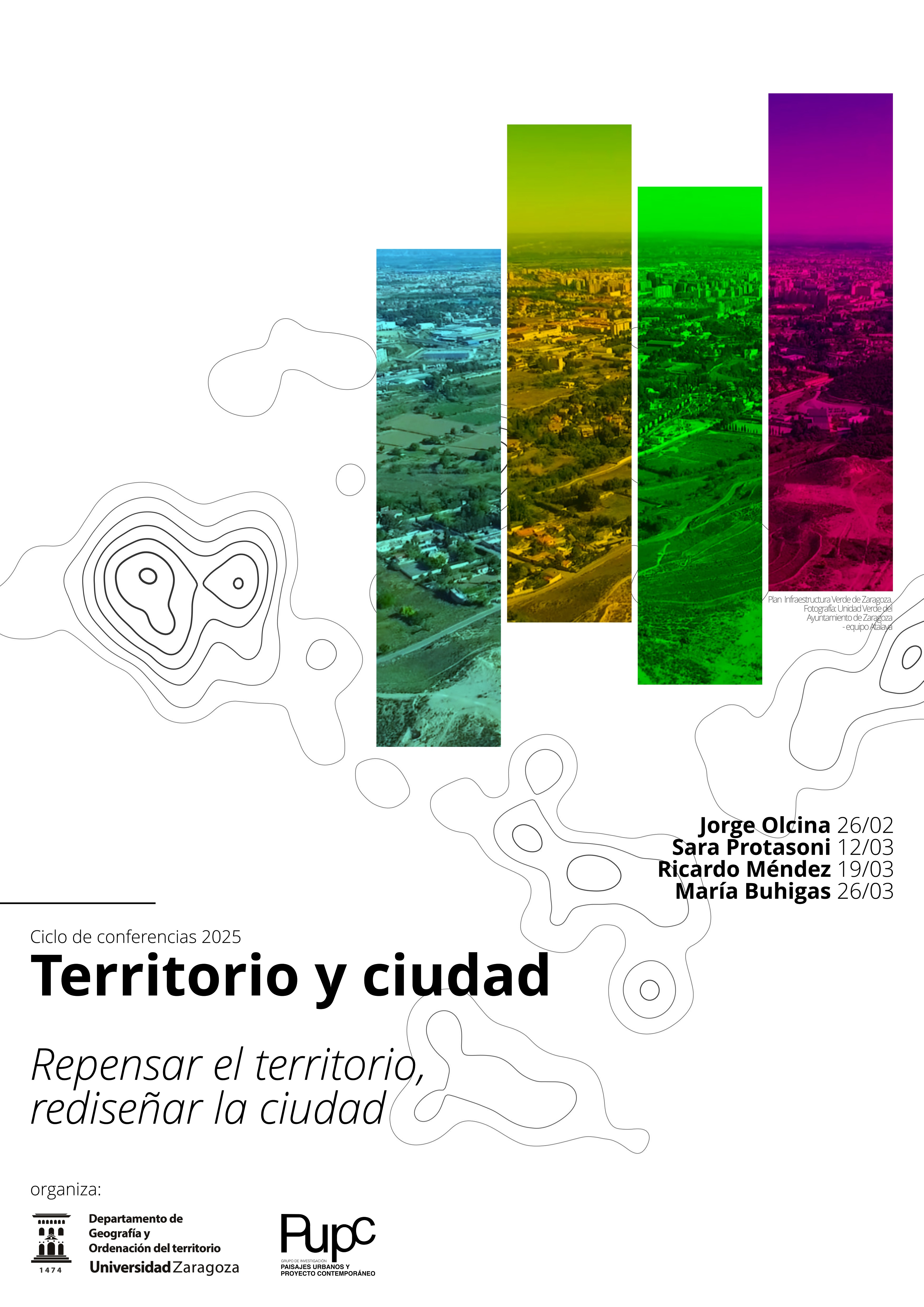
I Cycle of Conferences Territory and City. Rethinking the Territory, Redesigning the City
(Zaragoza. Thursday, February 13, 2025). Organized by the Department of Geography and Territorial Planning at the University of Zaragoza and the research group Urban Landscapes and Contemporary Projects, the I Cycle of Conferences Territory and City. Rethinking the Territory, Redesigning the City will take place from February 26 to March 26 at the Paraninfo and […].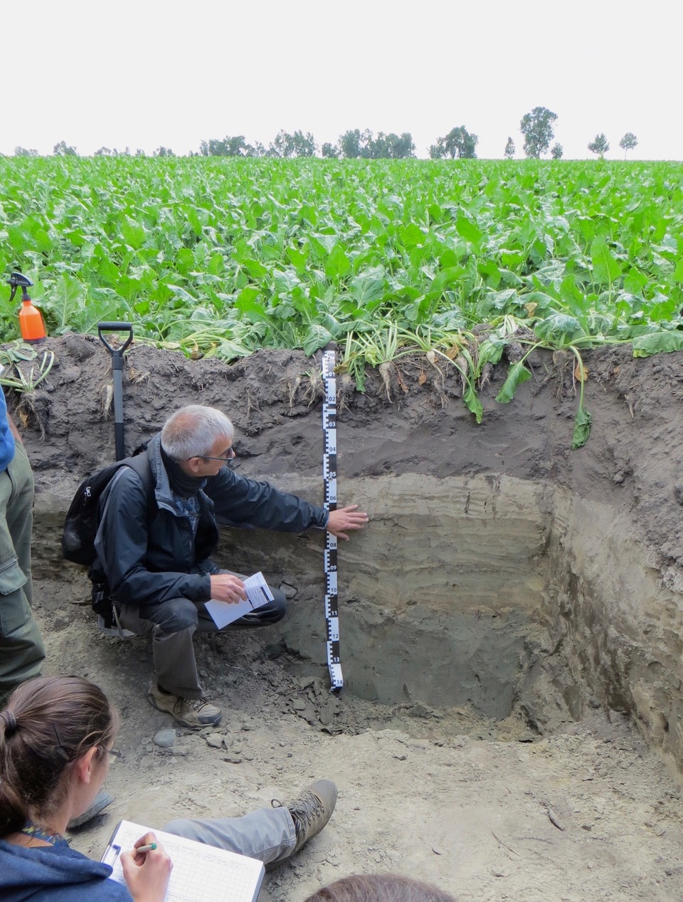
Biscarrués hosts the theoretical-practical session “Soil, the Living Skin of the Earth.”
(Huesca. Friday, September 13, 2024). Saturday, September 14, the region of Hoya de Huesca will host a double session, both theoretical and practical, in a natural setting, titled “Soil, the Living Skin of the Earth” as part of the series “Citizen Science Against Climate Change.” David Badía Villas, Professor of Soil Science at the Higher […].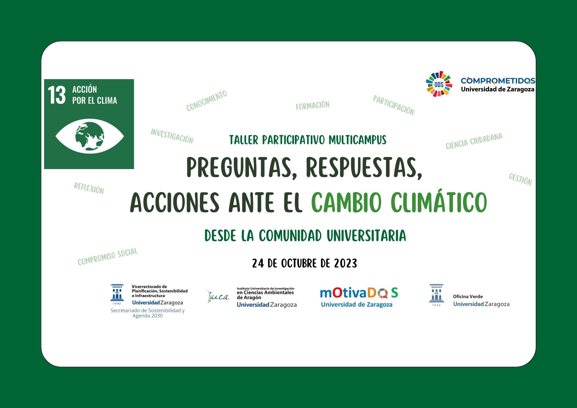
“Questions, answers, actions against climate change” Multicampus event on the Day to Fight Climate Change
(Zaragoza. Tuesday, October 10, 2023). At this time, almost no one doubts that more knowledge, more reflection and, above all, more committed action are necessary in relation to Anthropogenic Climate Change. For this reason, on October 24, International Day against Climate Change, the university community of the University of Zaragoza will continue to advance in […].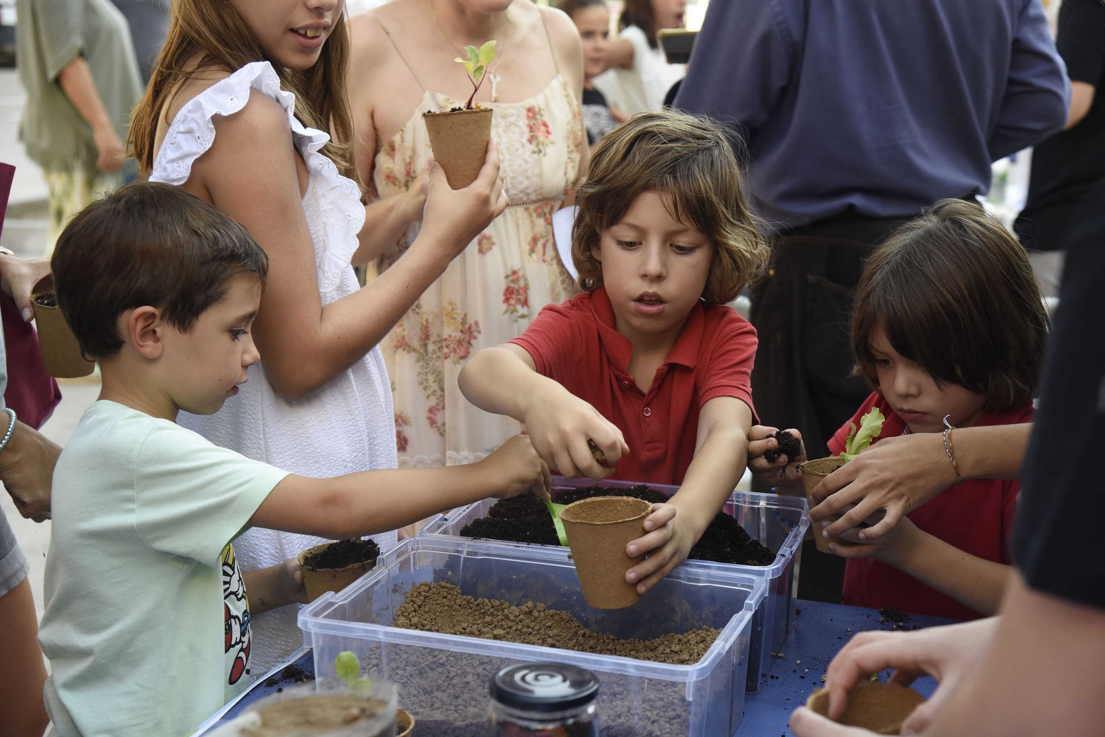
European Researchers’ night 2023
(Zaragoza. Saturday, September 30, 2023). Last Friday, September 29, 2023, the people of Aragon were able to enjoy more than 70 scientific activities at the European Night of Researchers, thanks to the collaboration of 190 researchers from the University of Zaragoza, who brought together experiments, games, talks , walks, coffees and scientific monologues in the […].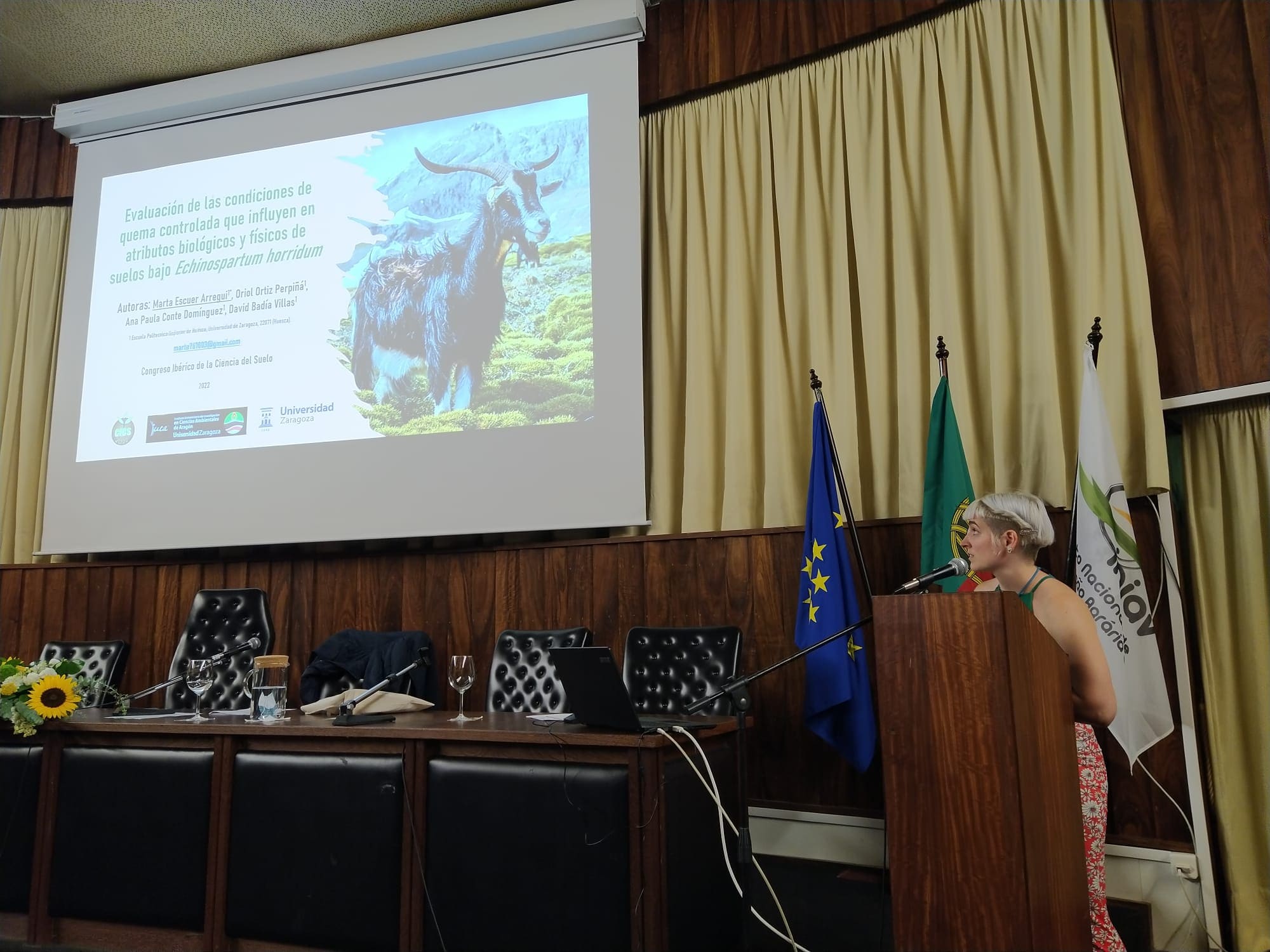
A hundred experts in Soil Science, with the presence of several members of the IUCA, analyze current issues such as the effects of fires or sustainable cultivation
(Zaragoza. Tuesday, June 28, 2022). The IX Iberian Congress of Soil Sciences/ IX Congresso Ibérico das Ciências do Solo, took place from June 22 to 24, at the INIAV (National Institute of Agricultural and Veterinary Research), in Oeiras-Lisboa (Portugal), with the participation of more than 100 attendees. It featured top-level speakers from various international institutions […].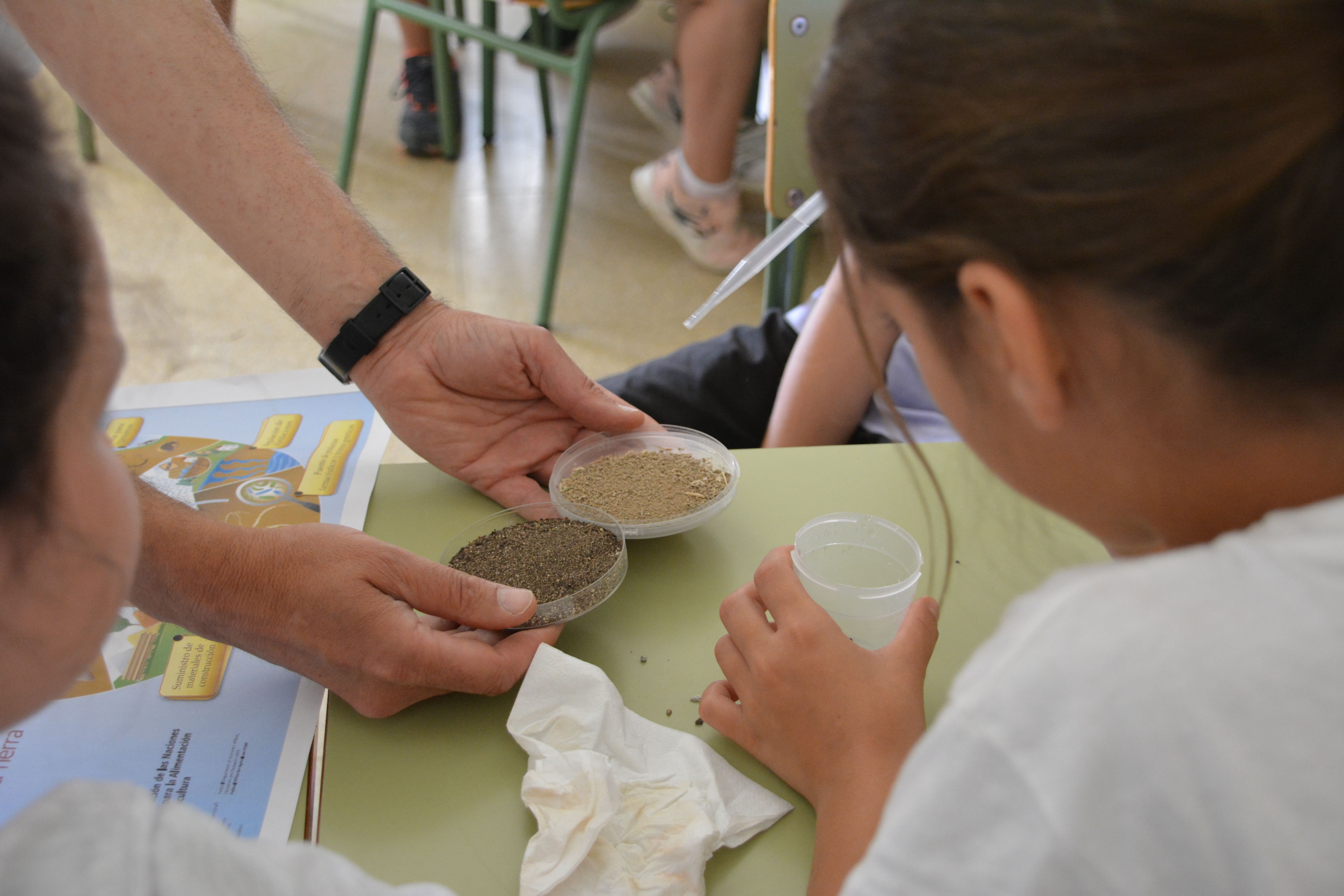
World Environment Day 2022
(Zaragoza. Wednesday, June 8, 2022). The province of Huesca has hosted this year the activities organized by the Environmental Science Research Institute of Aragon (IUCA) on the occasion of World Environment Day, which was commemorated last Sunday, June 5. The proposed activities were carried out last Tuesday, June 7, in the morning and afternoon. During […].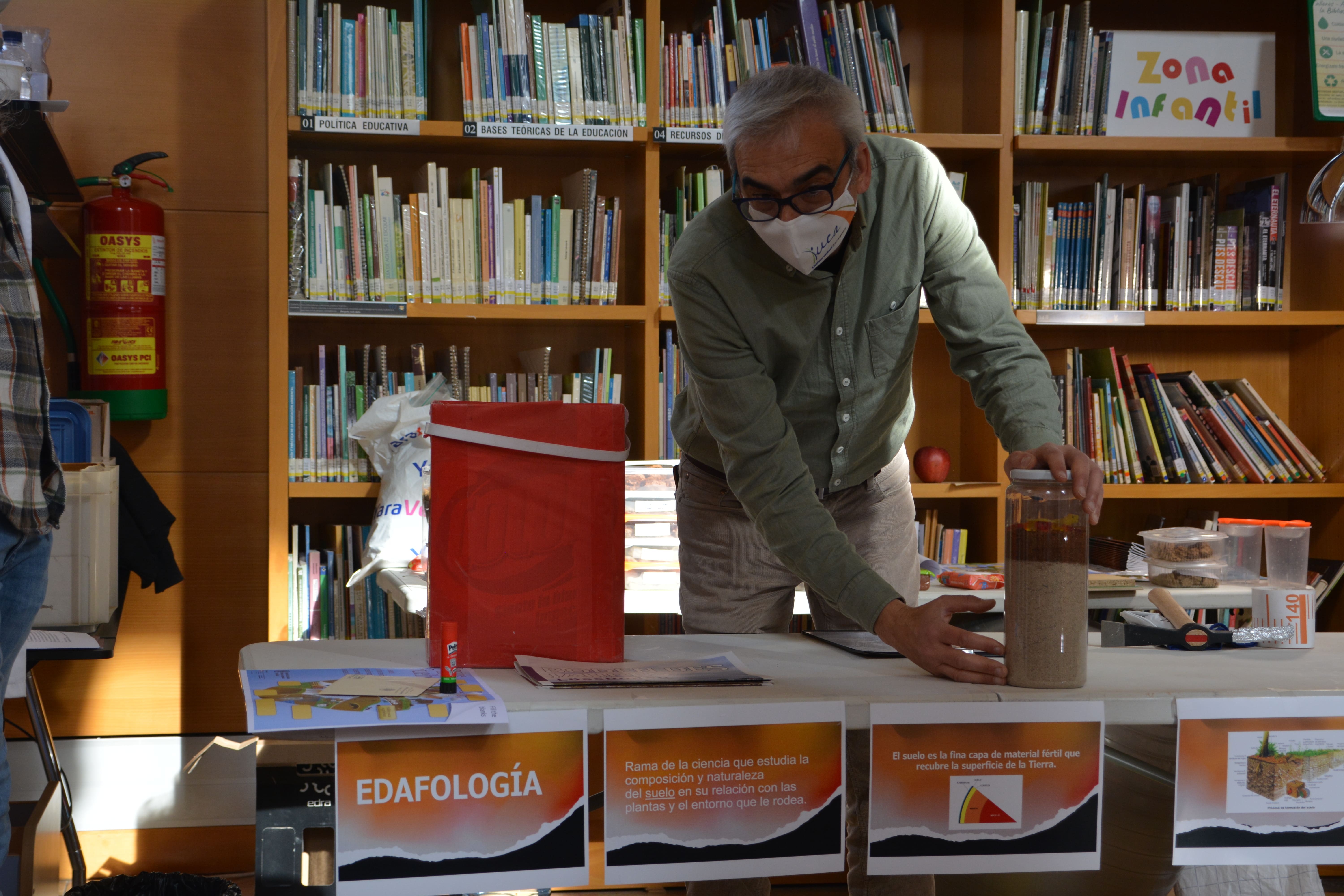
The Environmental Sciences Research Institute of Aragon (IUCA) celebrates World Environment Day with activities in Huesca
(Zaragoza. Friday, June 3, 2022). The province of Huesca will this year host the activities organized by the Research Institute in Environmental Sciences of Aragon (IUCA), of the University of Zaragoza, next Tuesday, June 7. On the occasion of World Environment Day, which is commemorated on June 5, these proposals are organized for children and […].
| DGA GROUP REFERENCE: | S51_23R |
| YEAR OF CREATION: | 2001 |
| NUMBER OF THESES SUPERVISED (2025): | 3 |
| NUMBER OF PUBLICATIONS (2025): | 16 |
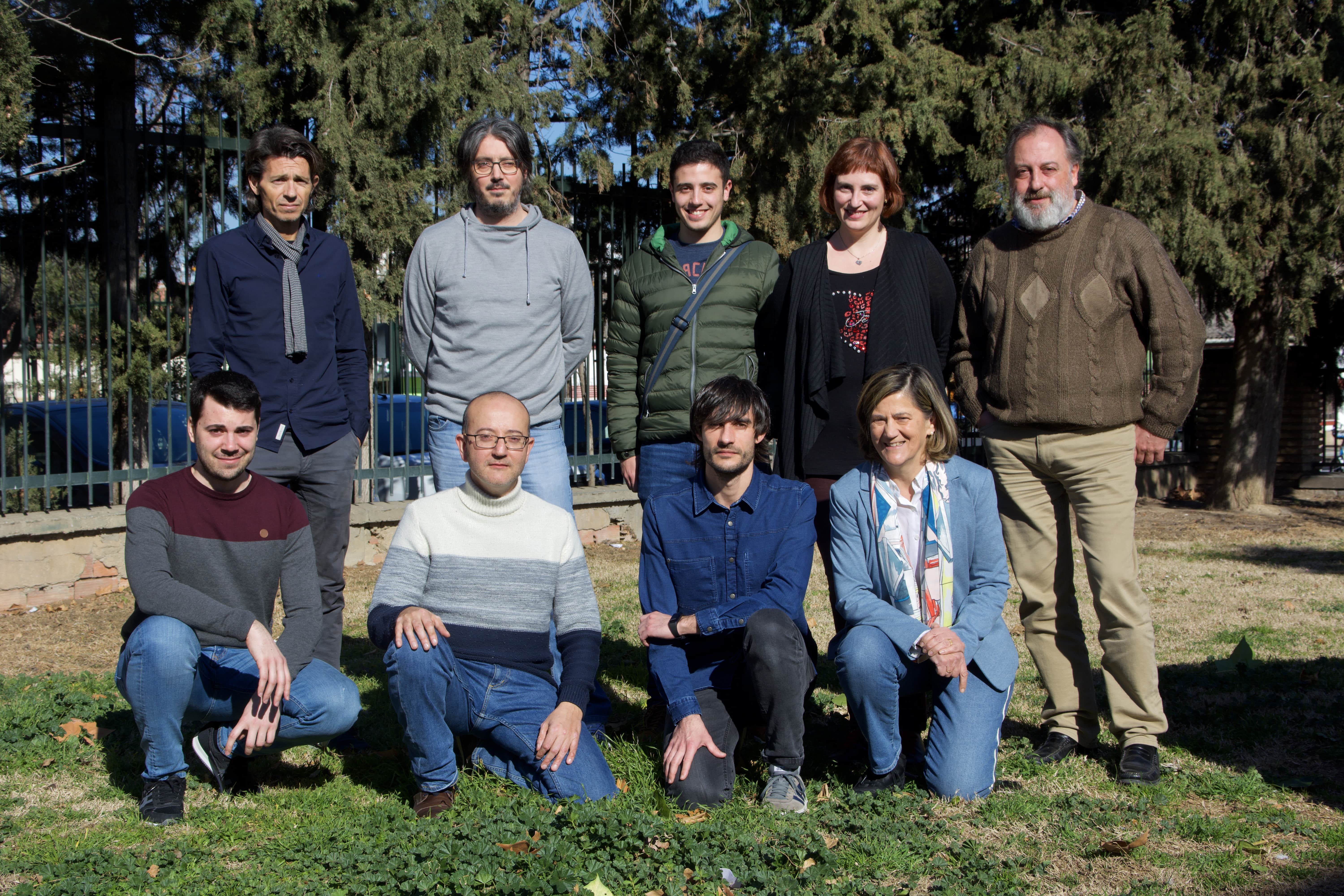
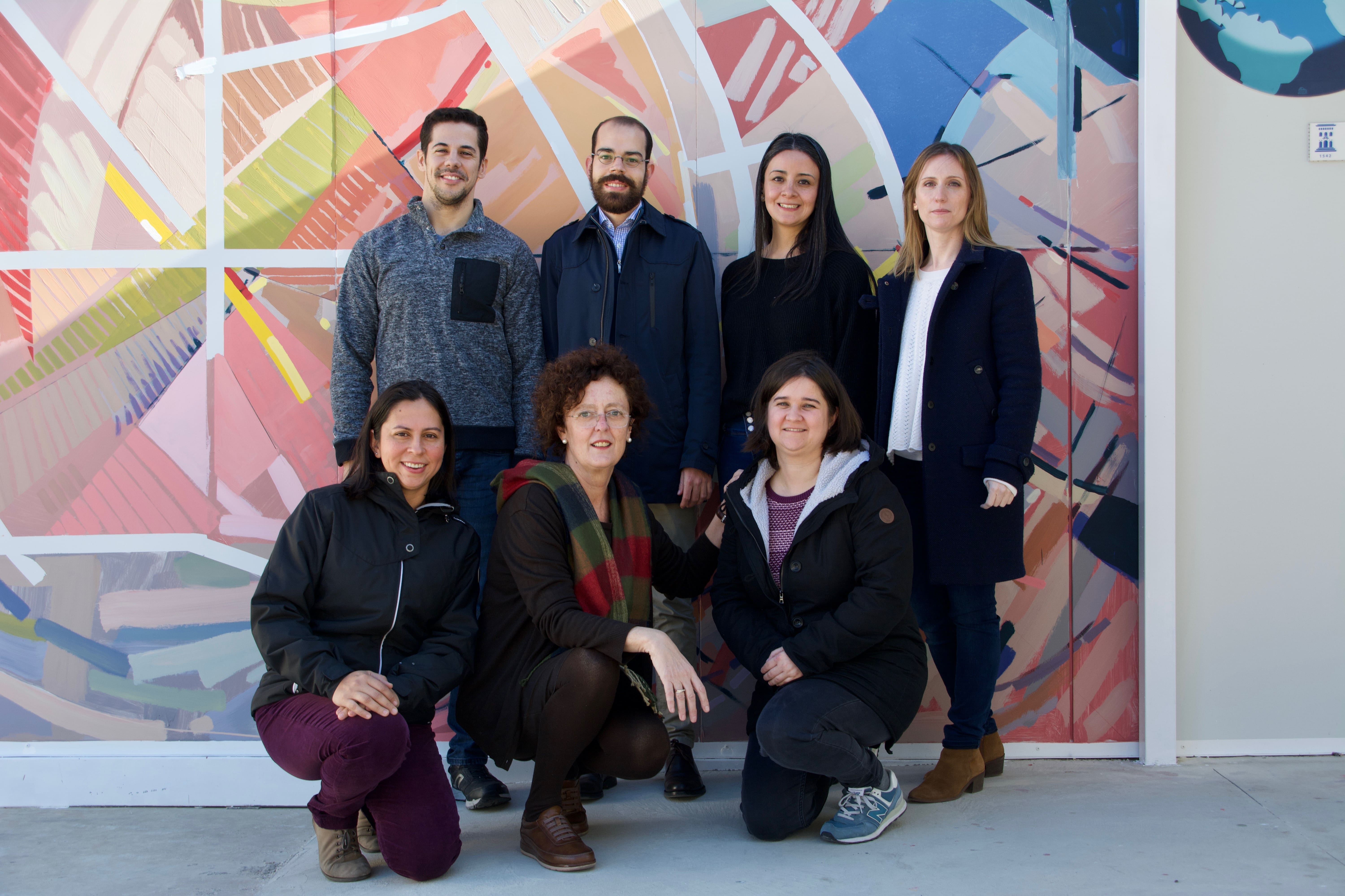
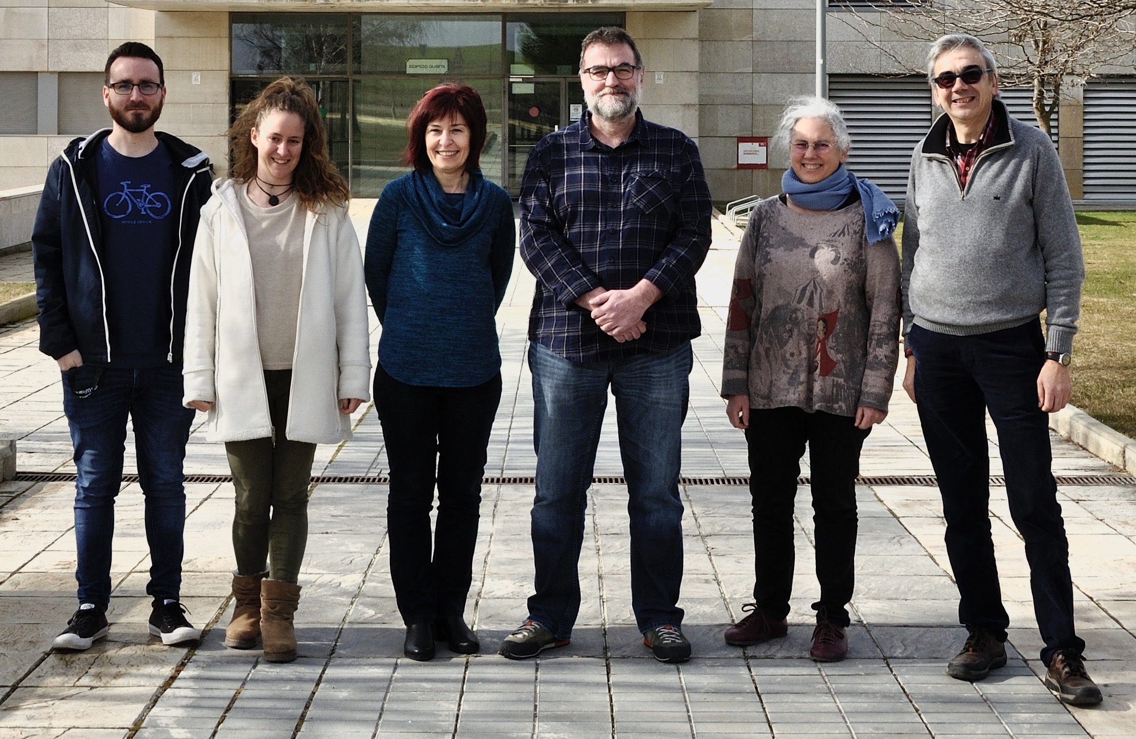
Miembros
- BADÍA VILLAS, D.
- DE LA RIVA FERNÁNDEZ, J.
- IBARRA BENLLOCH, P.
- MARTÍ DALMAU, C.
- MONTORIO LLOVERÍA, R.
- PÉREZ CABELLO, F.
- ZUFIAURRE GALARZA, R.
- URGÍLEZ CLAVIJO, A.P.
- GARCÍA MARTÍN, ALBERTO
- ROMERO CABEZUDO, SERGIO
- RODRIGUES MIMBRERO, MARCOS
- MORA HERNÁNDEZ, J.L.
- LAMELAS GRACIA, T.
- MONTEALEGRE GRACIA, A.
- HOFFRÉN MANSOA, R.
- GARCÍA MARTÍN, A.
- RODRIGUES MIMBRERO, M.
- IRANZO CUBEL, C.
- ANDRÉS VISÚS, V.
- SERRETA OLIVÁN, A
- LARRAZ JUAN, S.
- RAMOS FLORES, M.E.
- LÓPEZ VICENTE, M.
- MARTÍN ORTIZ, P.
Chief Investigator:
Juan de la Riva Fernández
Co-chief Investigator:
David Badía Villas